
Quick on-field assessment methodologies to validate mapped burned areas and fire severity based on remote sensing methods
Category
Documentos, EntregablesAbout This Project
This document is part of activity A22 of the Project EPyRIS, which ultimately aims to develop an on-site protocol to validate, complete and correct burned area and severity maps, previously obtained right after a fire by remote sensing (addressed in A2.1), in such way that a post-fire first diagnosis can be obtained (immediate diagnosis – order of magnitude: days) in the form of maps. These provide guidance in strategic decision-making, as well as in directly on-site measurement design, in order to reach a detailed and operating diagnosis within the weeks following a wildfire (Activity A31 of project EPyRIS addresses the methodology).
This is therefore our proposed agile management methodology based on previous knowledge gained during the project development.
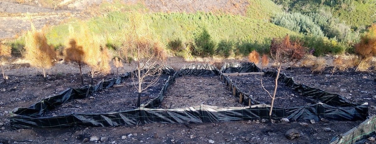
In this context, several real on-site experiences have been used, which can serve as a reference to define such methodology. These are linked to the August 2018 fire occurred in the vicinity of Nerva (Huelva, Spain) and other two fires that happened at the beginning of the project, which provided us the on-site data required to carry out the corresponding validation tests leading to the methodology eventually proposed.